
117
Chapter 7: Land and Soil
River Catchment-based Flood Risk Assessment and Management
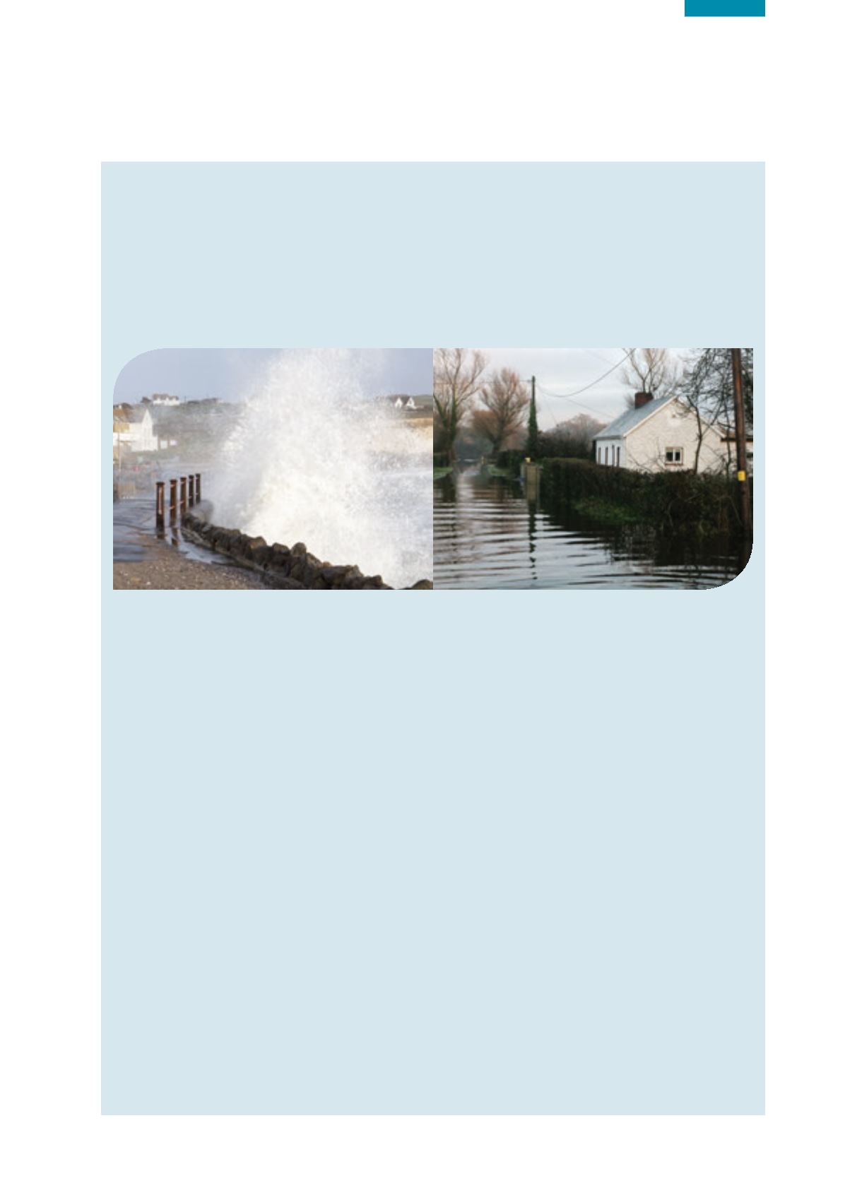
The flooding along parts of the Shannon catchment experienced in 2015 was widely reported in media news reports that
outlined the severe impacts on local communities and business. This flooding has highlighted the need for a wider debate
and a national solution to managing flood risks in catchments and managing land use in areas at risk of significant
flooding. The national Catchment-based Flood Risk Assessment and Management (CFRAM) programme currently aims to
assess the existing flood risk of inland watercourses and coastlines in Ireland and consider flood alleviation options. The
programme is also considering the potential for significant increases in flood risk arising from climate change, ongoing
development and other pressures that may arise in the future. The CFRAM programme is the vehicle for delivering on the
main requirements of the European Floods Directive. This directive applies to inland waters as well as coastal waters.
According to the Office of Public Works (OPW), the national body co-ordinating this work, the objectives of the CFRAM
programme are to identify and map the existing and potential future flood hazard and flood risk in the communities at
risk, to identify viable structural and non-structural options and measures for the effective and sustainable management
of that flood risk and to prepare a series of flood risk management plans that set out the policies, strategies, measures
and actions that should be pursued by the relevant bodies (including the OPW, local authorities and other stakeholders)
to achieve the most cost-effective and sustainable management of existing and potential future flood risk.
The CFRAM programme covers the whole of the country, divided into seven large areas called River Basin Districts.
Each River Basin District is then divided into a number of units of management, and one flood risk management plan
will be prepared for each unit. The CFRAM programme is specifically focused on a number of areas where the risk
has been determined to be potentially significant, which are referred to as “areas for further assessment”, and on the
sources of flooding that were determined to be the cause of significant risk within those areas. Detailed draft flood
mapping for those areas for further assessment was put out to public consultation in late 2015.
Draft flood risk management plans will be accompanied by strategic environmental reports, which will document the
strategic environmental assessment process. The environmental reports will identify, evaluate and describe the likely
significant effects on the environment of implementing the measures set out in the draft flood risk management
plans. The environmental reports will also document how the plans have been prepared, with a view to avoiding
adverse environmental effects and will also, where appropriate, set out recommendations as to how adverse effects
can be mitigated, communicated and monitored. A Natura impact statement will also accompany the draft flood risk
management plans to set out the findings of the Appropriate Assessment in relation to the impacts of the plans on Natura
2000 sites. Following completion of the consultation process, the draft flood risk management plans will be finalised taking
into account comments received, as well as comments on the environmental report and the Natura impact statement.
Work on the CFRAM programme also involves significant overlap and co-ordination with activities related to the
WFD, including specific aims to support the objectives of the WFD, consideration of multiple-benefit mitigation
measures (such as land use management and natural water retention measures) and joint liaison between the OPW,
EPA and the Water Policy Advisory Committee.
The OPW has commenced consultation on the draft flood risk management plans for units of management during 2016.


